
Our work
Projects & experience
A proven track record in hydrology, hydrogeology, topographic surveys and environmental projects across Tanzania.
Selected projects
Where we’ve delivered
Highlights from professional engagements and collaborations across the water and land sectors.
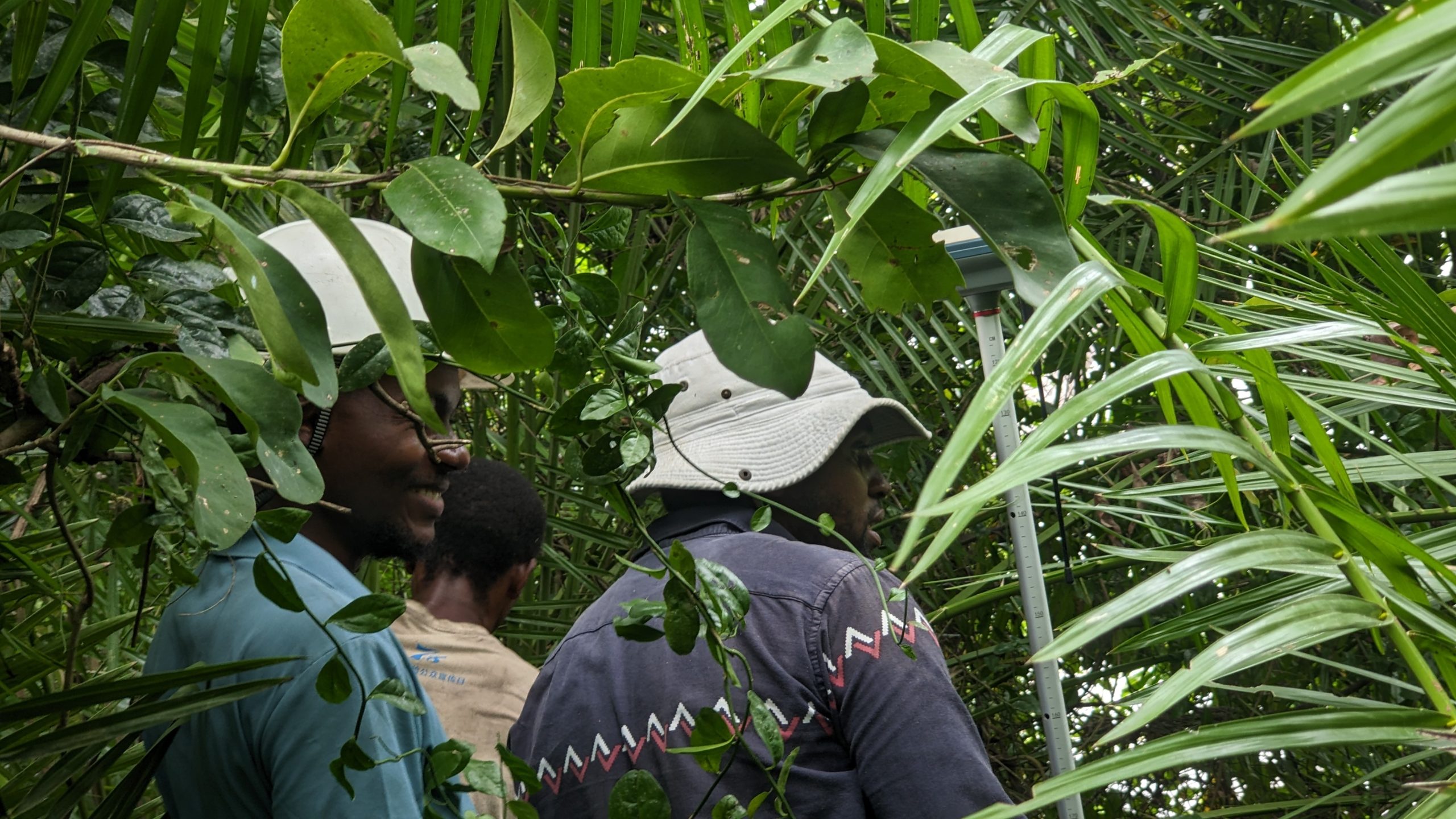
Hydrological & Hydrogeological Assessment for the Proposed Salt Production Project
A comprehensive hydrological and hydrogeological assessment to support the development of a proposed salt production facility in Mtwara Region. The study evaluated surface water dynamics, groundwater conditions, flood behavior, land use changes, and site hydrogeology to provide engineering design parameters for the safe planning and operation of the project.
Full project details
The assessment combined field investigations, hydrological analysis, hydrogeological surveys, electrical resistivity and electromagnetic geophysical investigations, GIS and remote sensing, flood frequency analysis, watershed assessment, and terrain analysis. Historical rainfall records, satellite imagery, Digital Elevation Models (DEM), and geophysical data were integrated to characterize water resources, groundwater potential, and flood risks within the project area.
Key deliverables
- Hydrological assessment
- Hydrogeological investigation
- Electrical Resistivity (VES) survey
- Electromagnetic (EM) profiling
- Groundwater potential assessment
- Flood frequency and design flood analysis
- Watershed and drainage analysis
- Rainfall analysis
- Land Use/Land Cover (LULC) assessment
- GIS database development and thematic mapping
Project outcome
The study successfully identified groundwater potential zones, mapped surface drainage patterns, evaluated flood magnitudes for multiple return periods, and established hydrological design parameters required for the proposed salt production infrastructure. Geophysical investigations provided reliable information on subsurface conditions and groundwater occurrence, while hydrological analyses supported the design of flood protection measures, drainage systems, and sustainable water management strategies for long-term project implementation.
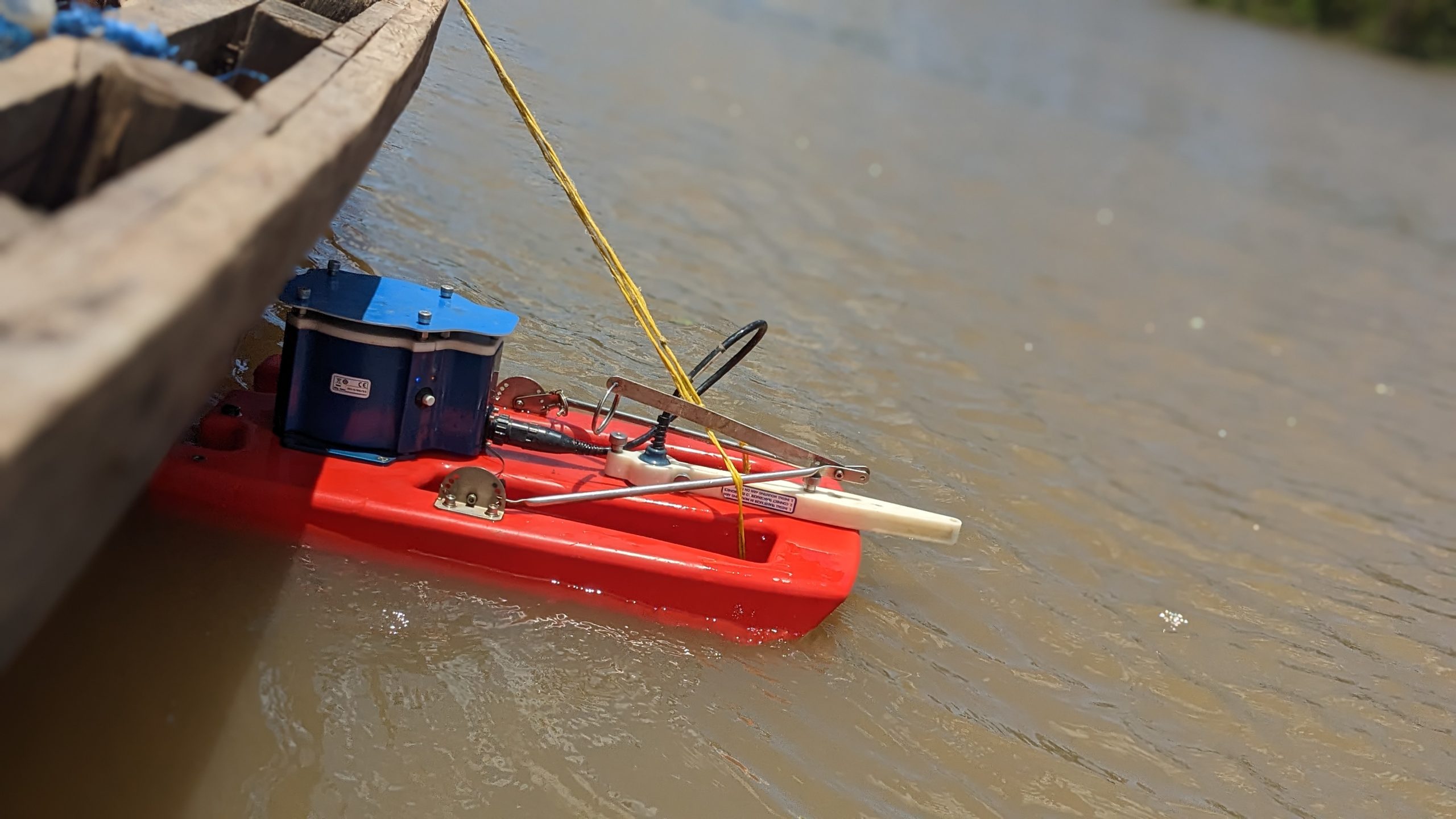
Hydrological Study for the Proposed Pangani Sugarcane Plantation Project
The project involved a comprehensive hydrological assessment to support the development of a large-scale sugarcane plantation within the Pangani River Basin. The study evaluated water availability, flood risks, river hydraulics, and watershed characteristics to provide reliable data for the design of irrigation water intake structures and supporting water infrastructure.
Full project details
Our team conducted detailed field surveys, bathymetric and hydrometric measurements, GIS and remote sensing analysis, hydrological modelling, flood frequency analysis, watershed delineation, land use/land cover assessment, and water balance analysis. Historical rainfall and river flow records were integrated with Digital Elevation Models (DEM) to assess water resources and predict flood behavior under different return periods.
Key deliverables
- Hydrological and water resources assessment
- Bathymetric and hydrometric surveys
- Flood modelling and floodplain mapping
- Electromagnetic (EM) profiling
- Groundwater potential assessment
- Flood frequency and design flood analysis
- Watershed delineation and morphometric analysis
- Water availability and water balance assessment
- River intake site evaluation and hydraulic analysis
- Land Use/Land Cover (LULC) change analysis
- GIS database development and thematic mapping
- Engineering recommendations for water abstraction infrastructure
Project outcome
The study confirmed that the Pangani River provides sufficient surface water to support the proposed irrigation scheme while identifying the most suitable intake location for long-term operation. Flood hazard maps, hydraulic design parameters, and recommendations for sediment control, riverbank protection, and future water resource monitoring were delivered to support sustainable project implementation.
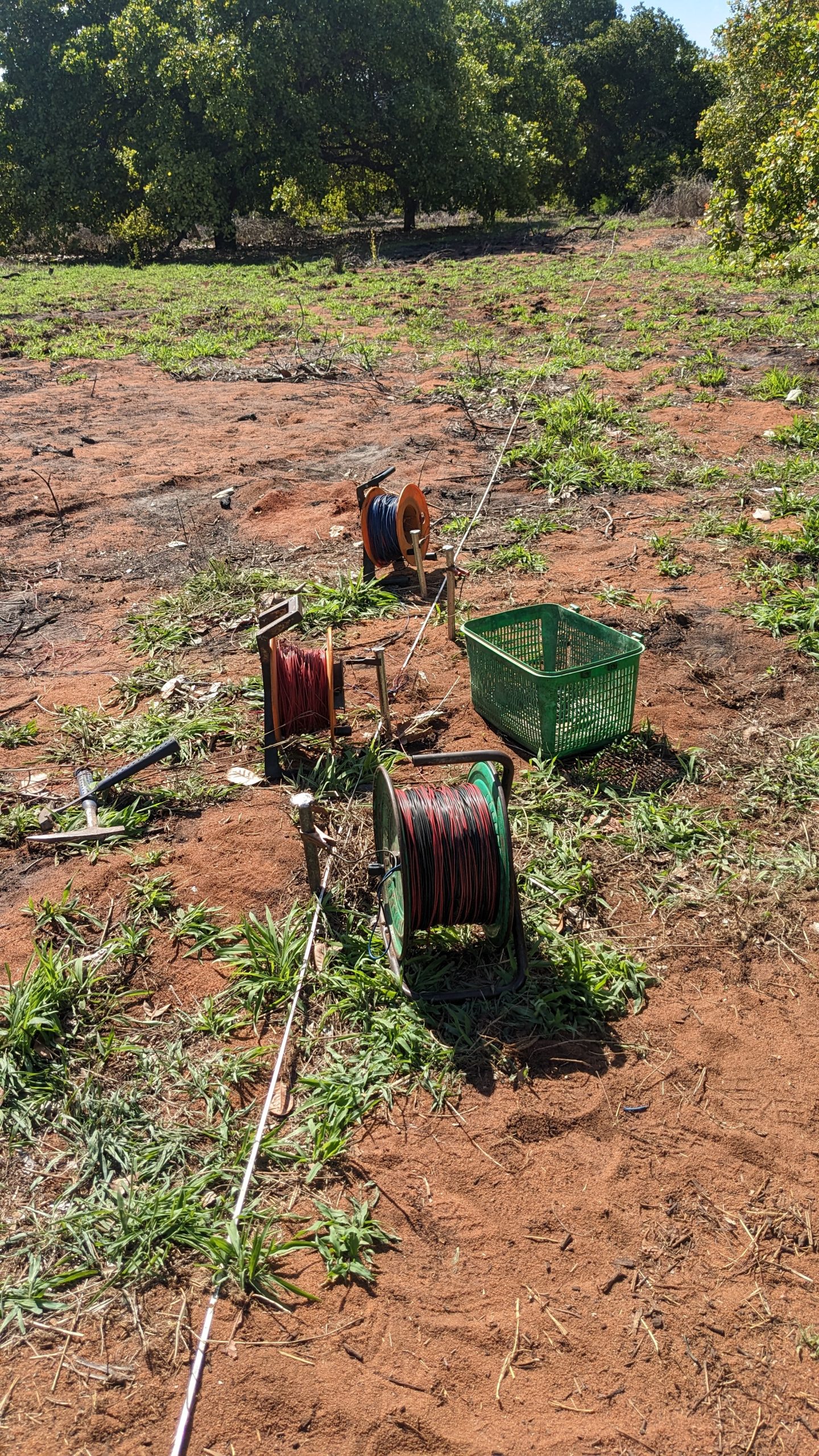
Hydrological and Hydrogeological Study for the Proposed Gold Mining Project
This project involved a comprehensive hydrological and hydrogeological assessment to support the development and expansion of a gold mining project within the Chipoka River Catchment of the Lake Rukwa Basin. The study established baseline surface water and groundwater conditions, evaluated flood risks, identified groundwater potential, and generated hydrological design parameters required for the planning and design of mining infrastructure.
Full project details
Our multidisciplinary approach integrated field investigations, geophysical surveys, GIS and remote sensing, hydrological analysis, flood modelling, catchment characterization, groundwater assessment, and environmental risk evaluation. Historical rainfall records, Digital Elevation Models (DEM), geological information, satellite imagery, and groundwater investigations were combined to produce reliable engineering and environmental recommendations.
Key deliverables
- Hydrological and hydrogeological baseline assessment
- Groundwater potential investigation using geophysical surveys (PQWT)
- Watershed and sub-catchment delineation
- Flood frequency analysis and design flood estimation
- Rainfall intensity (IDF) analysis
- Surface water and groundwater impact assessment
- Land Use/Land Cover (LULC) change analysis
- Digital Elevation Model (DEM) generation and terrain analysis
- Storm water management recommendations
- Engineering hydrological design parameters for mining infrastructure
Project outcome
The study successfully established the hydrological and hydrogeological conditions of the project area and identified groundwater potential zones suitable for future development. Flood discharges for multiple return periods were determined, catchment characteristics were analysed, and hydrological design criteria were developed to support the safe design of mine infrastructure, drainage systems, culverts, and storm water facilities. The project also provided practical recommendations for sustainable water resources management and environmental protection throughout the mining lifecycle.
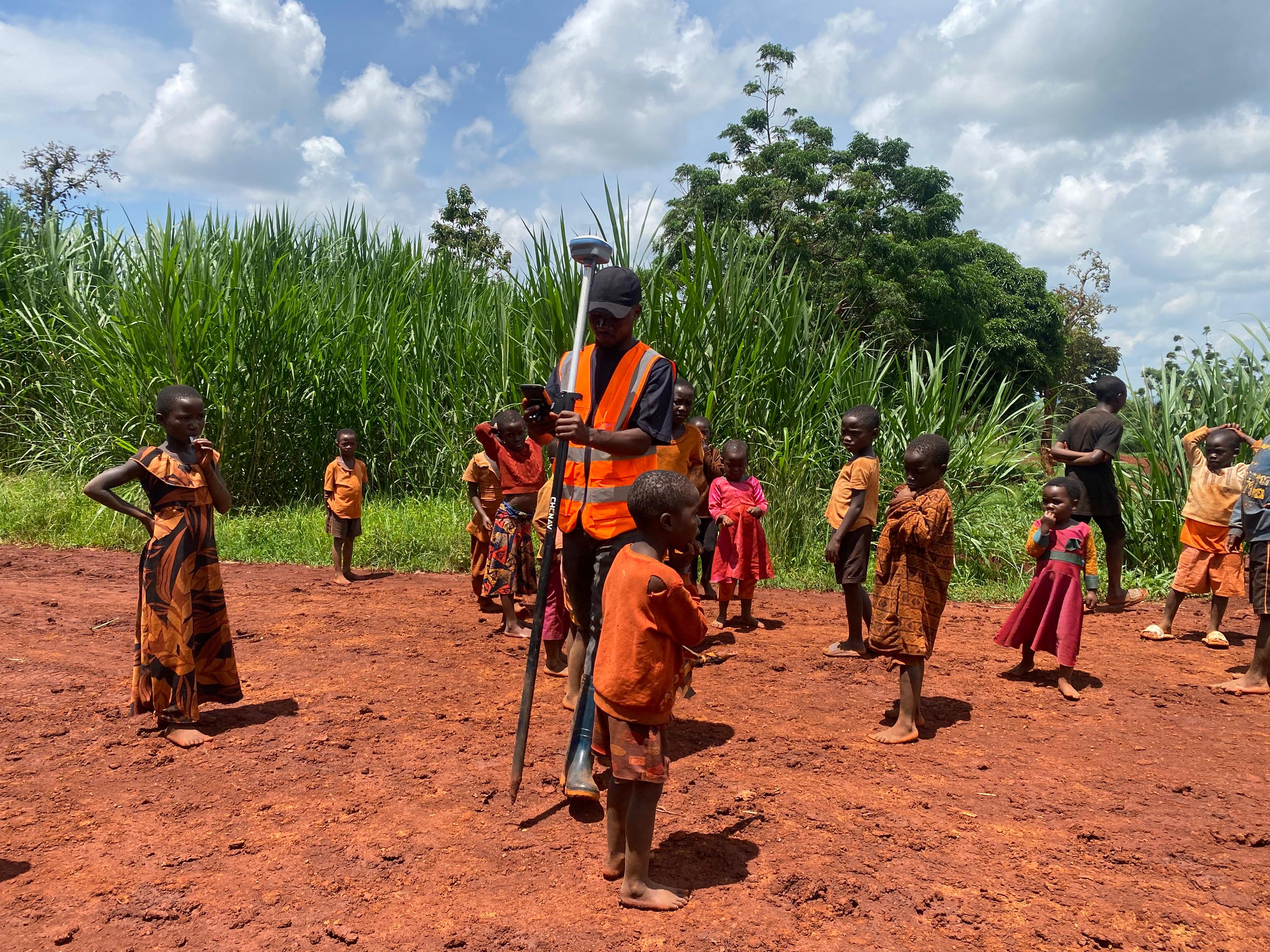
Hydrological and Soil Erosion Modelling for Refugee Camps Climate Resilience Project
This project involved a comprehensive hydrological, hydraulic, and soil erosion modelling study to support the design of sustainable flood and erosion control infrastructure within Nduta, Nyarugusu, and the former Mtendeli Refugee Camps in Kigoma Region, Tanzania. The assessment was conducted under the Green Climate Fund climate resilience program to provide engineering design parameters for mitigating flood hazards, gully erosion, and land degradation affecting refugee camps and surrounding host communities.
Full project details
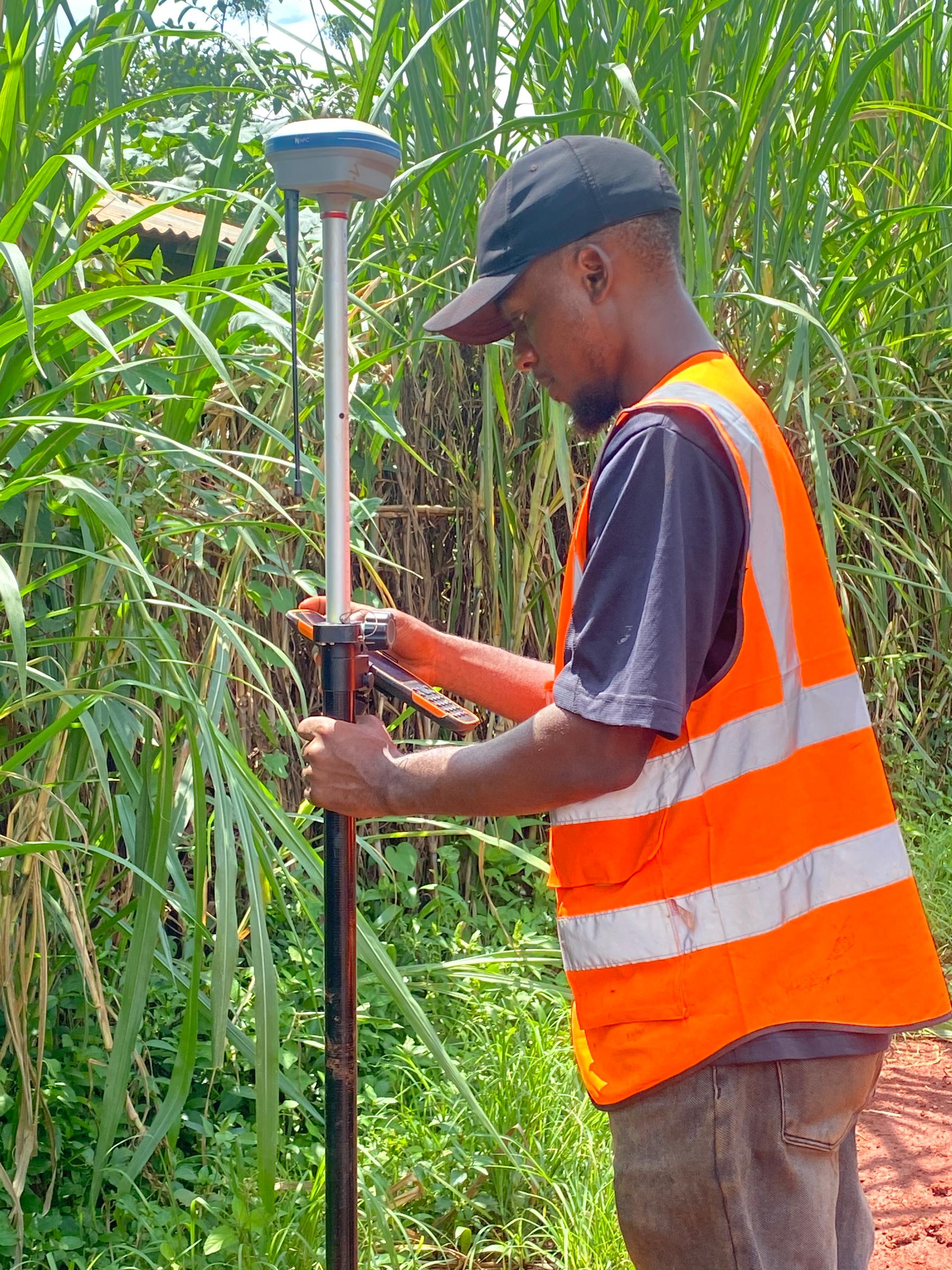
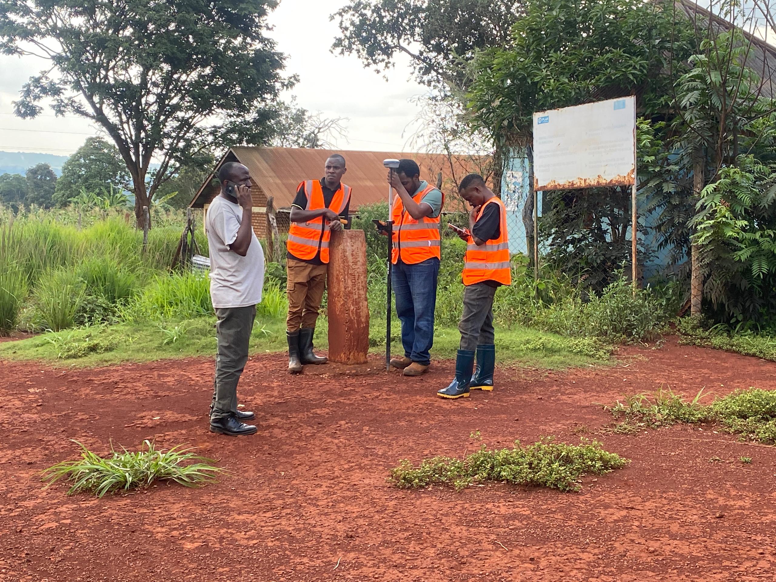
The study integrated field investigations, GIS and remote sensing, hydrological modelling, watershed analysis, flood frequency analysis, soil erosion assessment, and environmental risk mapping. Historical rainfall records, Digital Elevation Models (DEM), satellite imagery, soil data, and topographic surveys were analysed to develop practical engineering and nature-based solutions for long-term climate resilience.
Project gallery
Key deliverables
- Hydrological and hydraulic assessment
- Watershed and catchment delineation
- Flood frequency and design flood estimation
- HEC-HMS rainfall-runoff modelling
- Soil erosion modelling and sediment risk assessment
- Flood risk mapping
- Land Use/Land Cover (LULC) analysis
- Digital Elevation Model (DEM) processing
- Climate resilience engineering recommendations
- Nature-based and structural flood mitigation strategies
- Topographical data
Project outcome
The study identified flood-prone areas, quantified soil erosion hotspots, and established hydrological design parameters for critical drainage and erosion control infrastructure across all three refugee camps. Peak flood discharges were estimated for multiple return periods, enabling the design of drainage channels, gabions, culverts, bridges, and other storm water management structures. The assessment also provided practical recommendations combining engineering interventions with nature-based solutions such as revegetation and watershed restoration to enhance long-term climate resilience and environmental sustainability.
Have a similar project?
We bring field-tested experience to every assignment, large or small.